

Project End Product Development
Project End Product Development
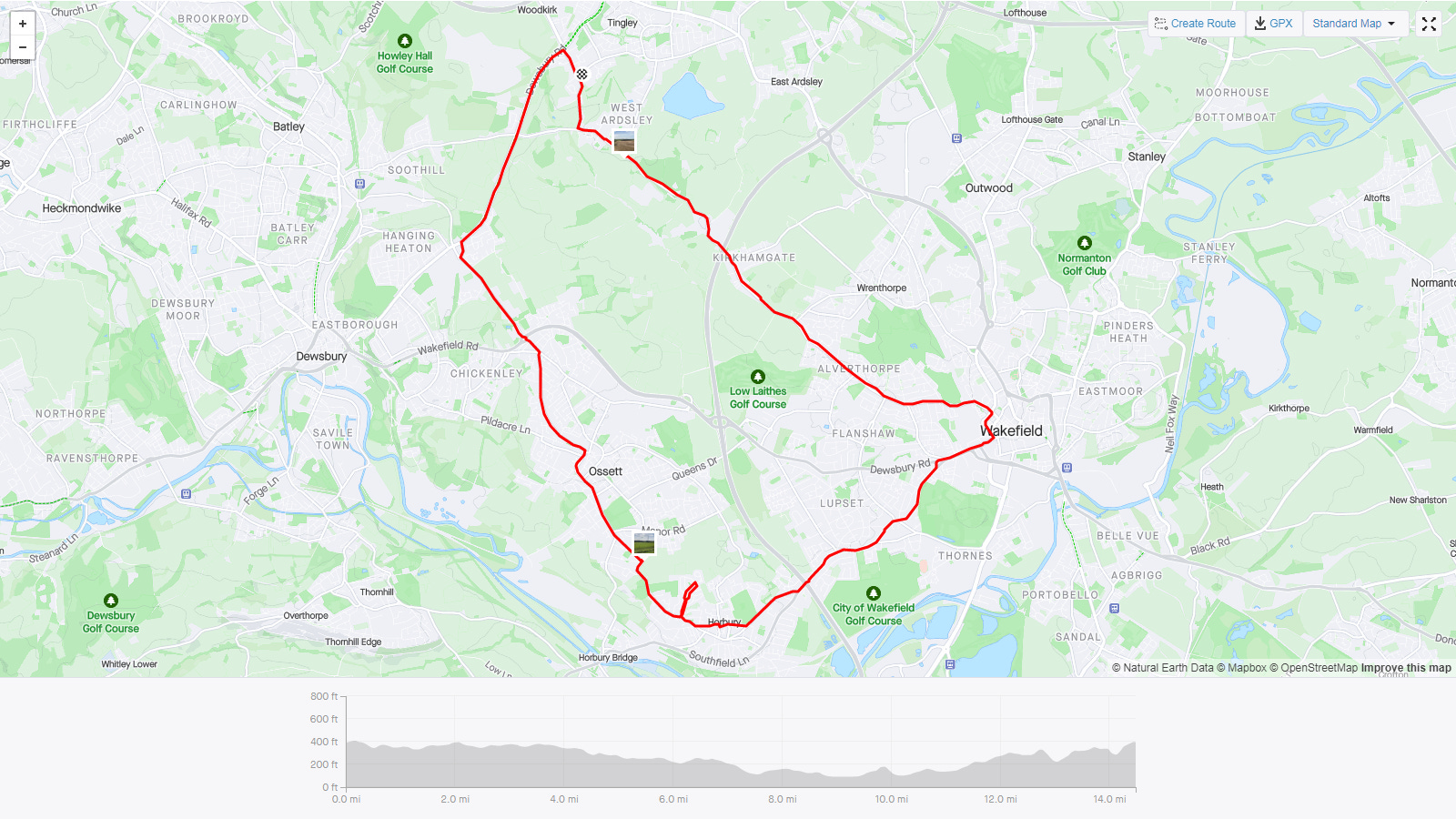
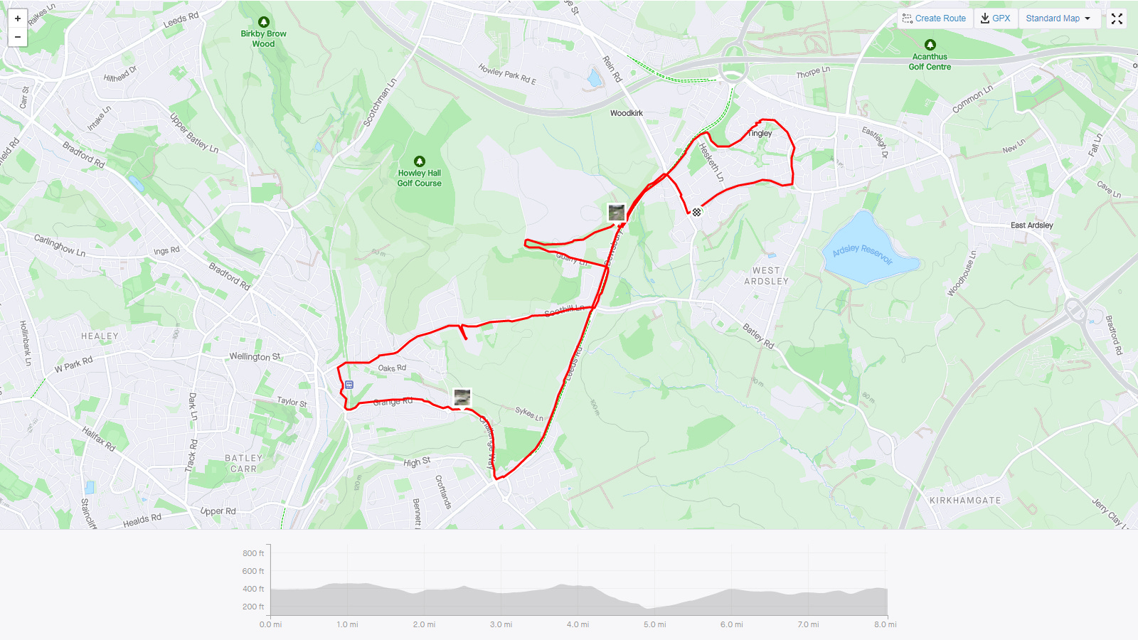
Following on from the previous blog roundup post, I’ve began to think about how I could present the end product of the project. Rather than an exhibition or photobook that feels inappropriate, and as I upload all the routes to Strava anyway, I thought a good starting point would be the native maps in Strava. As you can see below, the maps incorporate any photos you take on a given route.
As in this previous post referencing local custom maps, I could potentially create my own version of the above Strava maps, adding my own photos to an Ordnance Survey map.
This would highlight the exploration of the local area them well, whilst creating a good looking final product that’s not a book or exhibition.
I intend to order a custom map to test this idea, possible problems include;
the size of the map in relation to the photos,
cost of individual maps (although I could potentially make copies of the initial map),
how to record a route on each map, if at all,
would I need to plan to take a photo at specific points of the map to get the idea to look right on the map?
Next Steps
Buy a custom area map from Ordnance Survey,
Begin to use map to find interesting points of reference for photos.
Reproduce map using high quality scans in order to create intended pieces. Decide on a suitable size of photo for each shot taken.